✨ New Arrivals Just Dropped!Explore
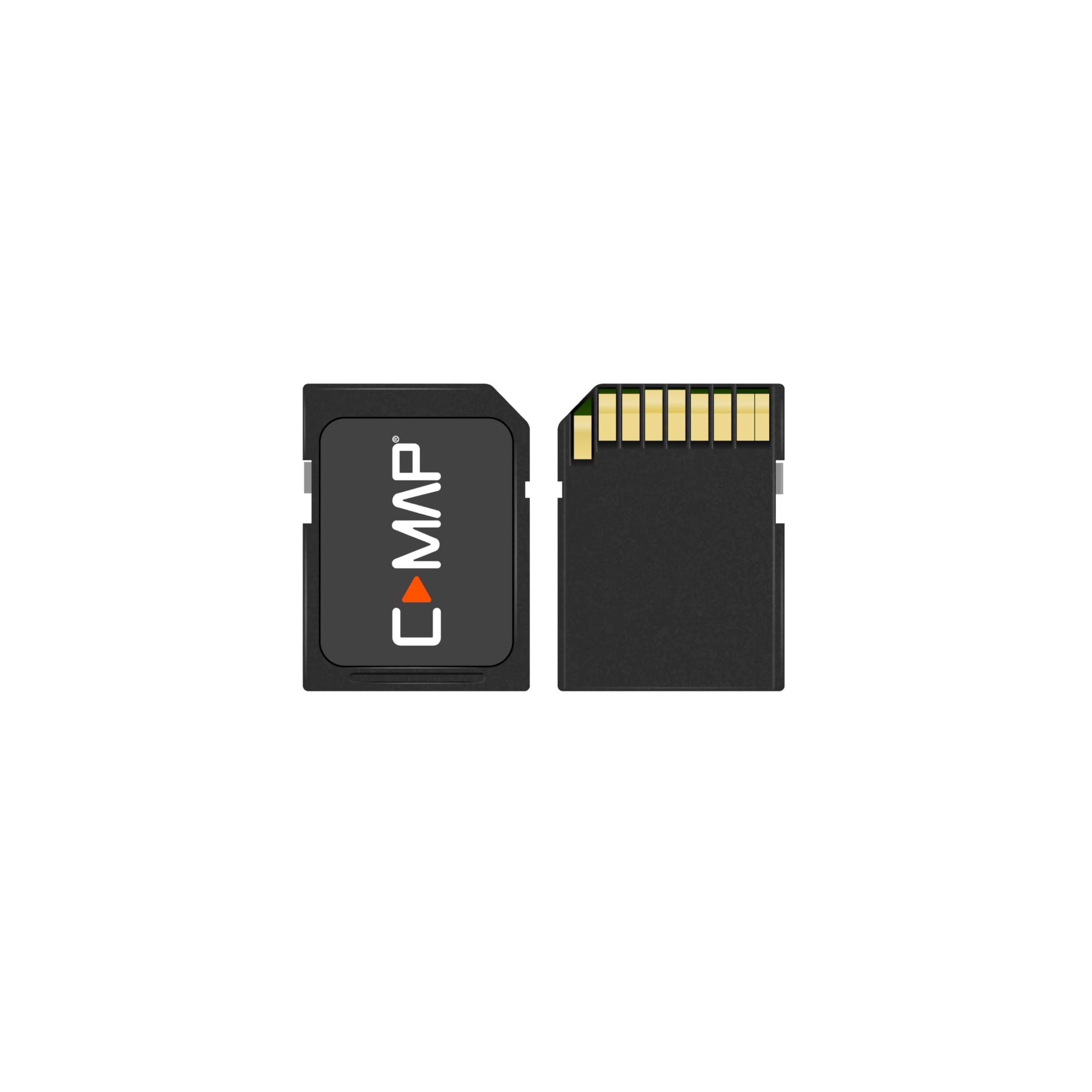
C-MAP Reveal X - Great Lakes to Nova Scotia, Map Card for Marine GPS chartplotters
- FULL- FEATURED VECTOR CHARTS: Making navigation easy by giving you accurate, up-to-date vector chart detail derived from official Hydrographic Office information
- HI-RES BATHYMETRY LAYER - Helps you identify shallow areas, drop offs, ledges, holes or humps. Now includes the very best of C-MAP HRB data, with integrated Genesis social map data
- SUBSCRIPTION-FREE AUTOROUTING - Automatically plot the shortest, safest route based on detailed chart data and your personalized vessel information
- SHADED RELIEF: Bring the world around you to life, with 3D rendered land and underwater elevation – including areas of Ultra-High-Res Bathymetric imagery – a game-changer for anglers and divers
- CUSTOM DEPTH SHADING: Set a clear safety depth, maintain a paper-like view or create your own custom shading
- COMPATIBILITY: This REVEAL X Chart is only compatible with the latest Simrad and B&G chartplotters running NEON
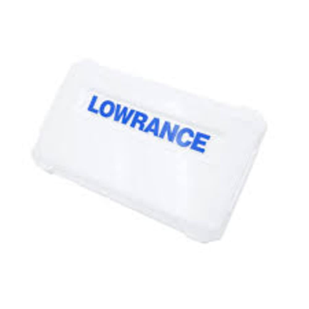
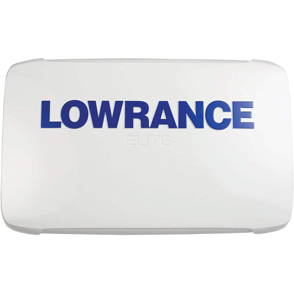
- INSTALLATION: This product comes programmed on a Micro-SD fitted in a SD card, most chart plotters come with a Micro SD card reader. To use this chart the Micro-SD card needs to be removed from the SD adapter
Select Style
From $177.00
C-MAP Reveal X - Great Lakes to Nova Scotia, Map Card for Marine GPS chartplotters—
$177.00
Product Information
Product Information
Shipping & Returns
Shipping & Returns
Description
- FULL- FEATURED VECTOR CHARTS: Making navigation easy by giving you accurate, up-to-date vector chart detail derived from official Hydrographic Office information
- HI-RES BATHYMETRY LAYER - Helps you identify shallow areas, drop offs, ledges, holes or humps. Now includes the very best of C-MAP HRB data, with integrated Genesis social map data
- SUBSCRIPTION-FREE AUTOROUTING - Automatically plot the shortest, safest route based on detailed chart data and your personalized vessel information
- SHADED RELIEF: Bring the world around you to life, with 3D rendered land and underwater elevation – including areas of Ultra-High-Res Bathymetric imagery – a game-changer for anglers and divers
- CUSTOM DEPTH SHADING: Set a clear safety depth, maintain a paper-like view or create your own custom shading
- COMPATIBILITY: This REVEAL X Chart is only compatible with the latest Simrad and B&G chartplotters running NEON
- INSTALLATION: This product comes programmed on a Micro-SD fitted in a SD card, most chart plotters come with a Micro SD card reader. To use this chart the Micro-SD card needs to be removed from the SD adapter